
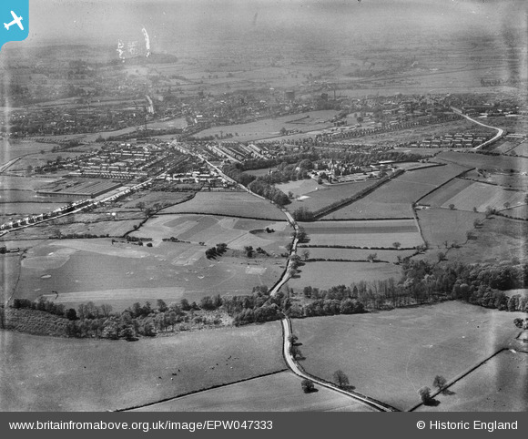
EPW047333 ENGLAND (1935). Weston Road, Kingston Hill Golf Course and environs, Stafford, from the east, 1935
© Copyright OpenStreetMap contributors and licensed by the OpenStreetMap Foundation. 2024. Cartography is licensed as CC BY-SA.
Details
| Title | [EPW047333] Weston Road, Kingston Hill Golf Course and environs, Stafford, from the east, 1935 |
| Reference | EPW047333 |
| Date | May-1935 |
| Link | |
| Place name | STAFFORD |
| Parish | |
| District | |
| Country | ENGLAND |
| Easting / Northing | 394233, 323688 |
| Longitude / Latitude | -2.0855669342974, 52.810377363049 |
| National Grid Reference | SJ942237 |
Pins
 jonnythejedi |
Friday 19th of July 2019 10:52:16 PM | |
davidconnelly |
Sunday 24th of July 2016 05:45:20 PM |


