
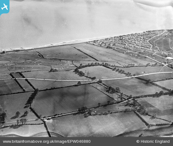
EPW046880 ENGLAND (1935). The Clacton-on-Sea Golf Course, West Road and the seafront, Clacton-on-Sea, 1935
© Copyright OpenStreetMap contributors and licensed by the OpenStreetMap Foundation. 2024. Cartography is licensed as CC BY-SA.
Nearby Images (8)
EPW046880

EPW046885

EPW046886

EPW046890

EPW046881

EPW046887

EPW046888

EPW046891

Details
| Title | [EPW046880] The Clacton-on-Sea Golf Course, West Road and the seafront, Clacton-on-Sea, 1935 |
| Reference | EPW046880 |
| Date | April-1935 |
| Link | |
| Place name | CLACTON-ON-SEA |
| Parish | |
| District | |
| Country | ENGLAND |
| Easting / Northing | 615744, 213778 |
| Longitude / Latitude | 1.1280359713307, 51.780555913393 |
| National Grid Reference | TM157138 |
Pins
Be the first to add a comment to this image!


