
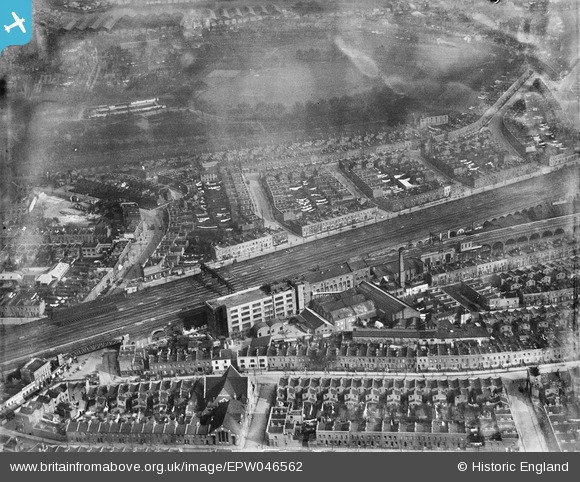
EPW046562 ENGLAND (1935). The W S Shuttleworth and Co Works and surrounding residential area, Bermondsey, 1935
© Copyright OpenStreetMap contributors and licensed by the OpenStreetMap Foundation. 2024. Cartography is licensed as CC BY-SA.
Nearby Images (25)
EPW046562

EPW046640

EPW046645

EPW046643

EPW046642

EPW046641

EPW046646

EPW046647

EAW036369

EAW036373

EPW046644

EAW036376

EAW036374

EPW060767

EAW036372

EAW036371

EPW010950

EPW000213

EPW000214

EPW000215

EPW000216

EPW000217

EAW036890

EAW036891

EAW034839

Details
| Title | [EPW046562] The W S Shuttleworth and Co Works and surrounding residential area, Bermondsey, 1935 |
| Reference | EPW046562 |
| Date | February-1935 |
| Link | |
| Place name | BERMONDSEY |
| Parish | |
| District | |
| Country | ENGLAND |
| Easting / Northing | 534931, 178788 |
| Longitude / Latitude | -0.056200529839785, 51.491431477787 |
| National Grid Reference | TQ349788 |
Pins
 John W |
Wednesday 28th of September 2016 03:43:42 PM | |
academy100 |
Thursday 13th of March 2014 01:21:10 PM | |
academy100 |
Thursday 13th of March 2014 01:15:51 PM |


