
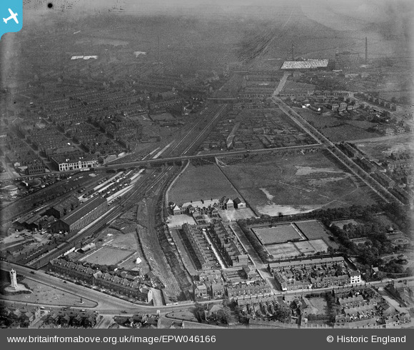
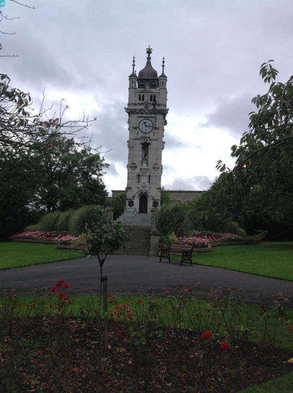
EPW046166 ENGLAND (1934). The Bury and Heywood Railway alongside the Wellington Playing Fields and the Whitehead Clock Tower, Bury, 1934
© Copyright OpenStreetMap contributors and licensed by the OpenStreetMap Foundation. 2024. Cartography is licensed as CC BY-SA.
Nearby Images (6)
EPW046166

EPW046162

EPW048659

EPW042021
, Bury, 1933")
EPW048661

EPW048645

Details
| Title | [EPW046166] The Bury and Heywood Railway alongside the Wellington Playing Fields and the Whitehead Clock Tower, Bury, 1934 |
| Reference | EPW046166 |
| Date | September-1934 |
| Link | |
| Place name | BURY |
| Parish | |
| District | |
| Country | ENGLAND |
| Easting / Northing | 380597, 410187 |
| Longitude / Latitude | -2.2931448185484, 53.587667885848 |
| National Grid Reference | SD806102 |
Pins
 muso2001 |
Monday 6th of February 2023 09:07:52 PM | |
muso2001 |
Monday 6th of February 2023 09:04:45 PM | |
granemill07 |
Wednesday 28th of September 2016 11:14:26 PM | |
granemill07 |
Wednesday 28th of September 2016 11:14:01 PM | |
 Class31 |
Monday 1st of September 2014 02:58:33 PM | |
Class31 |
Monday 1st of September 2014 02:57:20 PM | |
Class31 |
Monday 1st of September 2014 02:54:36 PM | |
totoro |
Friday 9th of August 2013 07:19:02 PM | |
totoro |
Friday 9th of August 2013 07:17:13 PM | |
totoro |
Friday 9th of August 2013 07:15:27 PM | |
totoro |
Friday 9th of August 2013 07:06:58 PM | |
totoro |
Friday 9th of August 2013 07:06:43 PM | |
totoro |
Friday 9th of August 2013 07:06:09 PM | |
totoro |
Friday 9th of August 2013 07:05:39 PM | |
totoro |
Friday 9th of August 2013 07:05:17 PM | |
totoro |
Friday 9th of August 2013 07:04:31 PM | |
totoro |
Friday 9th of August 2013 07:03:41 PM | |
totoro |
Friday 9th of August 2013 07:03:20 PM | |
totoro |
Friday 9th of August 2013 07:02:38 PM | |
totoro |
Friday 9th of August 2013 07:01:53 PM | |
totoro |
Friday 9th of August 2013 07:01:32 PM | |
totoro |
Friday 9th of August 2013 07:00:52 PM | |
totoro |
Friday 9th of August 2013 07:00:09 PM | |
Katy Whitaker |
Tuesday 16th of July 2013 04:23:51 PM | |
Katy Whitaker |
Tuesday 16th of July 2013 04:23:01 PM | |
Katy Whitaker |
Tuesday 16th of July 2013 04:22:20 PM |

User Comment Contributions
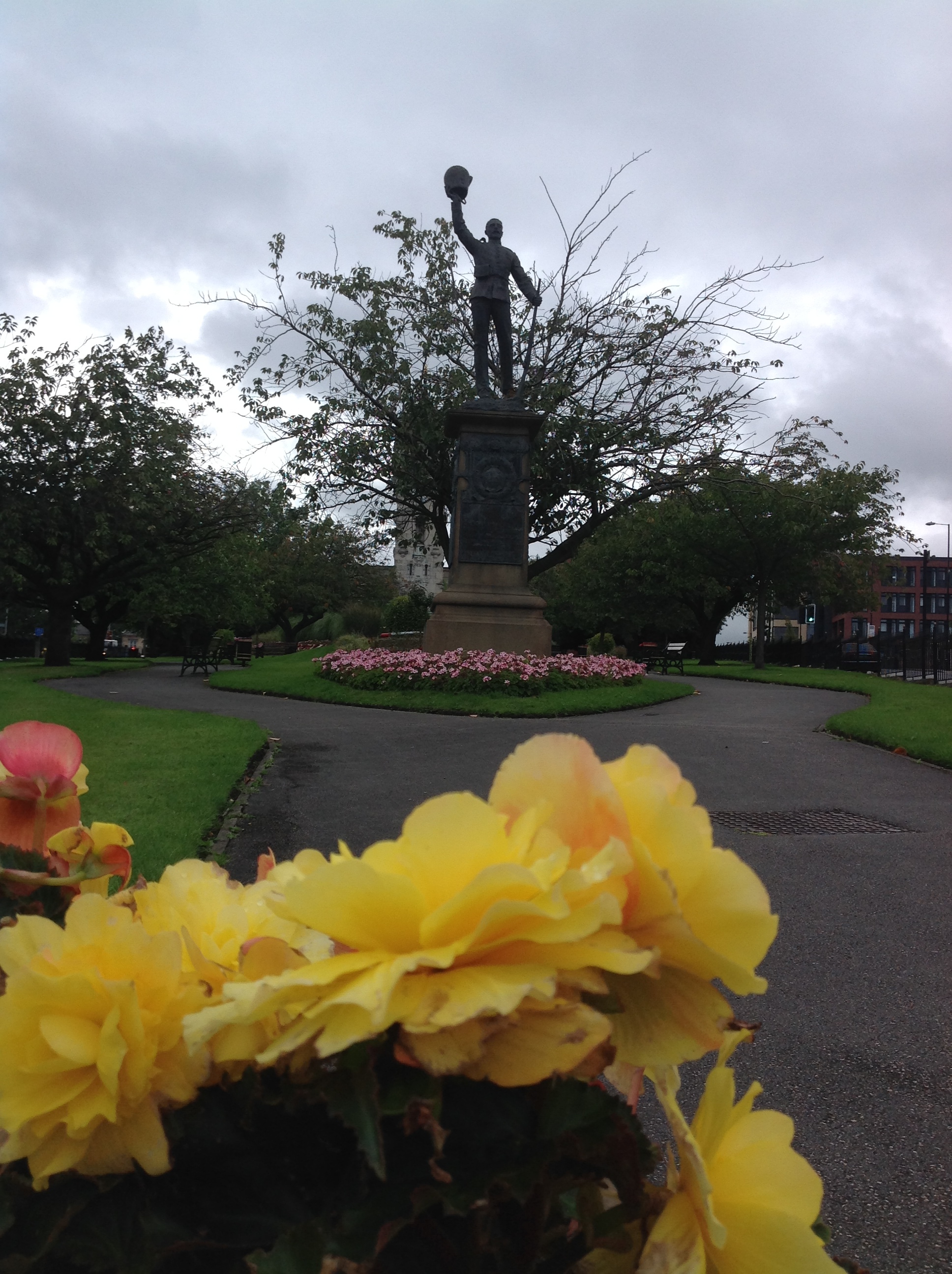 Lancashire Fusiliers Boer War, War Memorial, Whitehead Gardens, Bury, 25/08/2014 |
Class31 |
Monday 1st of September 2014 02:55:52 PM |
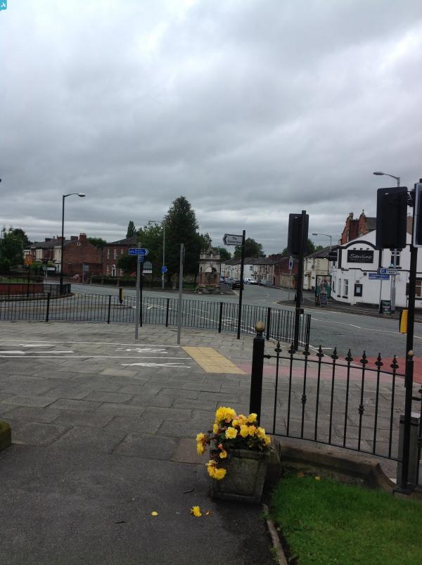
Waterloo Hotel bottom right ? |
wadey |
Tuesday 16th of July 2013 04:24:52 PM |
Hi Wadey, I'm not sure that Waterloo House is wuite on the photo, might be just off the corner. I've added a couple of pins; do add more of your own to help identify things in the image! Yours, Katy Britain from Above Cataloguing Team Leader |
Katy Whitaker |
Tuesday 16th of July 2013 04:24:52 PM |


