
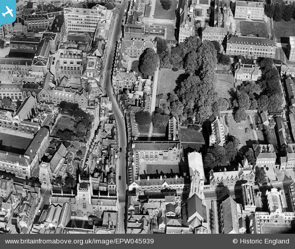
EPW045939 ENGLAND (1934). Pembroke College, Cambridge, 1934
© Copyright OpenStreetMap contributors and licensed by the OpenStreetMap Foundation. 2024. Cartography is licensed as CC BY-SA.
Nearby Images (32)
EPW045939

EPW045941

EPW045938

EPW045940

EPW045942

EPW000059

EAW014114

EPW000047

EAW002919

EPW009785

EPW009773

EPW000043

EPW025464

EPW000039

EPW009780

EAW012473

EAW012472

EAW012474

EPW009784

EPW009788

EPW000055

EAW012477

EAW002920

EAW012467

EAW012478

EPW009781

EAW012463

EAW012475

EAW002918

EPW045030

EAW003561

EPW000057

Details
| Title | [EPW045939] Pembroke College, Cambridge, 1934 |
| Reference | EPW045939 |
| Date | August-1934 |
| Link | |
| Place name | CAMBRIDGE |
| Parish | |
| District | |
| Country | ENGLAND |
| Easting / Northing | 544925, 258097 |
| Longitude / Latitude | 0.12091808418856, 52.201621293934 |
| National Grid Reference | TL449581 |
Pins
Be the first to add a comment to this image!


