
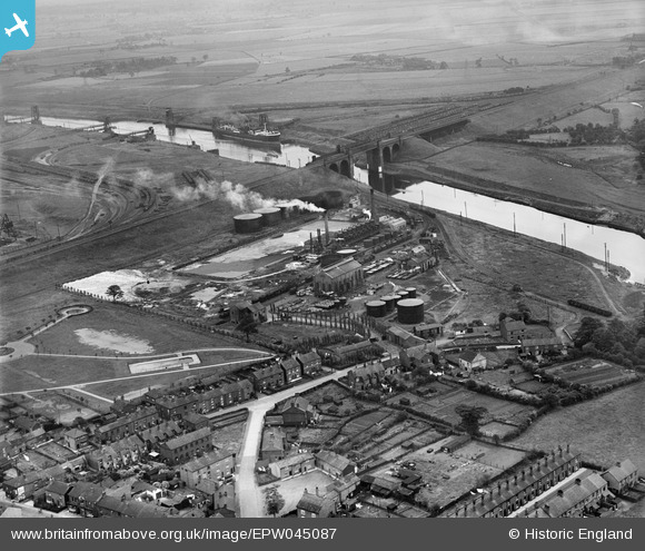
EPW045087 ENGLAND (1934). British Tar Products Ltd and the Manchester Ship Canal, Cadishead, 1934
© Copyright OpenStreetMap contributors and licensed by the OpenStreetMap Foundation. 2024. Cartography is licensed as CC BY-SA.
Nearby Images (7)
EPW045087

EPW045086

EPW045091

EPW045088

EPW045092

EPW045089

EPW045090

Details
| Title | [EPW045087] British Tar Products Ltd and the Manchester Ship Canal, Cadishead, 1934 |
| Reference | EPW045087 |
| Date | July-1934 |
| Link | |
| Place name | CADISHEAD |
| Parish | |
| District | |
| Country | ENGLAND |
| Easting / Northing | 371332, 392056 |
| Longitude / Latitude | -2.4314605336671, 53.424259961095 |
| National Grid Reference | SJ713921 |
Pins
 Wotec |
Tuesday 18th of February 2014 12:05:47 PM | |
Wotec |
Tuesday 18th of February 2014 12:03:16 PM | |
Wotec |
Tuesday 18th of February 2014 11:56:47 AM | |
Wotec |
Tuesday 18th of February 2014 11:38:54 AM |


