
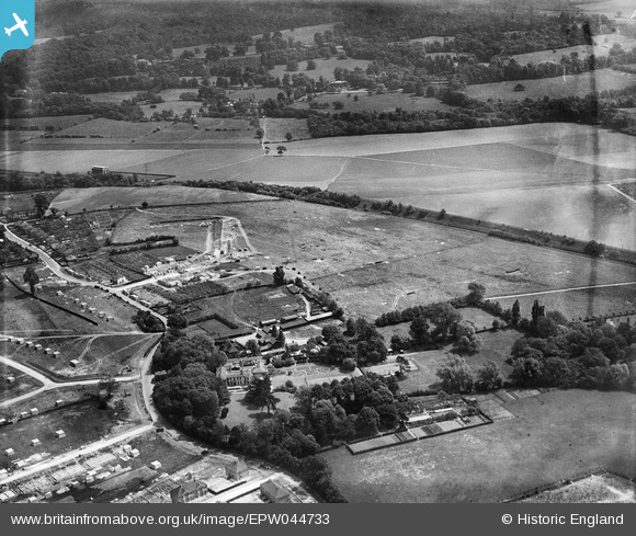
EPW044733 ENGLAND (1934). Hurst Place and environs, Sidcup, 1934
© Copyright OpenStreetMap contributors and licensed by the OpenStreetMap Foundation. 2024. Cartography is licensed as CC BY-SA.
Nearby Images (8)
EPW044733

EPW044376

EPW044735

EPW044378

EPW044736

EPW044379

EPW044732

EPW044377

Details
| Title | [EPW044733] Hurst Place and environs, Sidcup, 1934 |
| Reference | EPW044733 |
| Date | June-1934 |
| Link | |
| Place name | SIDCUP |
| Parish | |
| District | |
| Country | ENGLAND |
| Easting / Northing | 547882, 173054 |
| Longitude / Latitude | 0.12783864412654, 51.436664455552 |
| National Grid Reference | TQ479731 |
Pins

User Comment Contributions
Hurst Place is now a community centre. http://www.hurstcommunitycentre.co.uk/index.html |
 toandfro |
Friday 14th of November 2014 09:59:32 PM |


