
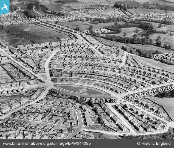
EPW044395 ENGLAND (1934). The Oval and the Marlborough Park Estate, Sidcup, 1934
© Copyright OpenStreetMap contributors and licensed by the OpenStreetMap Foundation. 2024. Cartography is licensed as CC BY-SA.
Nearby Images (6)
EPW044395

EPW044397

EPW044394

EPW038431

EPW038436

EPW038433

Details
| Title | [EPW044395] The Oval and the Marlborough Park Estate, Sidcup, 1934 |
| Reference | EPW044395 |
| Date | May-1934 |
| Link | |
| Place name | SIDCUP |
| Parish | |
| District | |
| Country | ENGLAND |
| Easting / Northing | 546418, 173806 |
| Longitude / Latitude | 0.10709996240257, 51.443802637377 |
| National Grid Reference | TQ464738 |


