
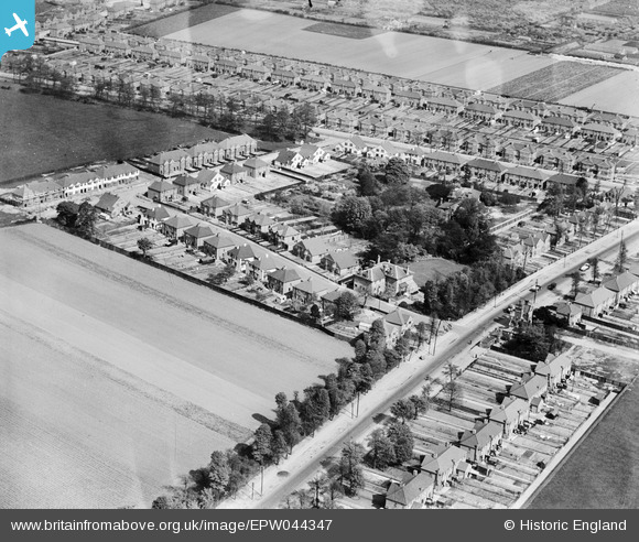
EPW044347 ENGLAND (1934). Uxbridge Road, Woodlawn Drive and environs, Hanworth Park, 1934
© Copyright OpenStreetMap contributors and licensed by the OpenStreetMap Foundation. 2024. Cartography is licensed as CC BY-SA.
Nearby Images (8)
EPW044347

EPW044343

EPW044345

EPW044342

EPW044346

EPW038818
 moored at Hanworth Aerodrome (London Air Park), from the south-east, 1932. This image has been produced from a damaged negative.")
EPW028597
 and environs, Hanworth Park, from the east, 1929")
EPW044340

Details
| Title | [EPW044347] Uxbridge Road, Woodlawn Drive and environs, Hanworth Park, 1934 |
| Reference | EPW044347 |
| Date | May-1934 |
| Link | |
| Place name | HANWORTH PARK |
| Parish | |
| District | |
| Country | ENGLAND |
| Easting / Northing | 511967, 172727 |
| Longitude / Latitude | -0.38878227209873, 51.441964446311 |
| National Grid Reference | TQ120727 |
Pins
Be the first to add a comment to this image!


