
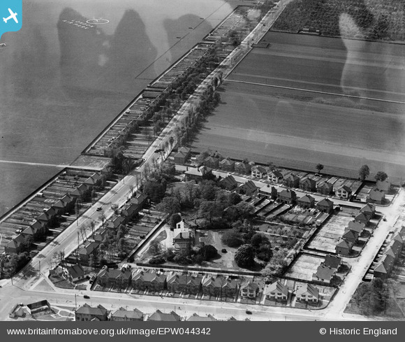
EPW044342 ENGLAND (1934). Uxbridge Road, Woodlawn Drive and environs, Hanworth Park, 1934
© Copyright OpenStreetMap contributors and licensed by the OpenStreetMap Foundation. 2024. Cartography is licensed as CC BY-SA.
Nearby Images (7)
EPW044342

EPW044345

EPW044347

EPW044343

EPW044346

EPW038818
 moored at Hanworth Aerodrome (London Air Park), from the south-east, 1932. This image has been produced from a damaged negative.")
EPW028597
 and environs, Hanworth Park, from the east, 1929")
Details
| Title | [EPW044342] Uxbridge Road, Woodlawn Drive and environs, Hanworth Park, 1934 |
| Reference | EPW044342 |
| Date | May-1934 |
| Link | |
| Place name | HANWORTH PARK |
| Parish | |
| District | |
| Country | ENGLAND |
| Easting / Northing | 511905, 172718 |
| Longitude / Latitude | -0.38967692609379, 51.441895800278 |
| National Grid Reference | TQ119727 |
Pins
 MB |
Wednesday 4th of May 2016 10:30:24 AM | |
MB |
Wednesday 4th of May 2016 10:27:42 AM | |
MB |
Wednesday 4th of May 2016 10:26:08 AM |


