
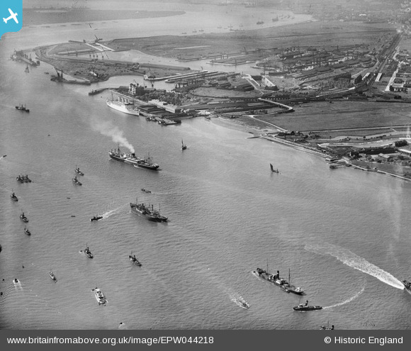
EPW044218 ENGLAND (1934). The River Thames and Tilbury Docks, Tilbury, 1934
© Copyright OpenStreetMap contributors and licensed by the OpenStreetMap Foundation. 2024. Cartography is licensed as CC BY-SA.
Nearby Images (3)
EPW044218

EAW031119

EPW032058
 railway station and environs, Tilbury, from the south-east, 1930")
Details
| Title | [EPW044218] The River Thames and Tilbury Docks, Tilbury, 1934 |
| Reference | EPW044218 |
| Date | May-1934 |
| Link | |
| Place name | TILBURY |
| Parish | |
| District | |
| Country | ENGLAND |
| Easting / Northing | 564741, 175071 |
| Longitude / Latitude | 0.37114584653542, 51.450135129537 |
| National Grid Reference | TQ647751 |
Pins
 Twinotterpilot |
Saturday 22nd of April 2023 05:22:54 PM | |
Twinotterpilot |
Saturday 22nd of April 2023 05:18:03 PM |


