
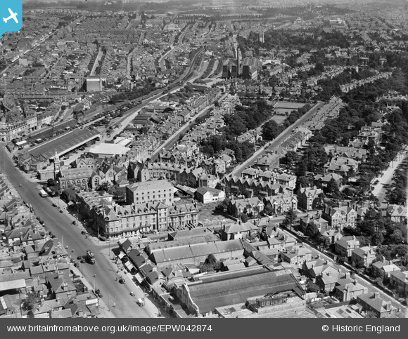
EPW042874 ENGLAND (1933). The Waverley Commercial and Family Hotel, Frances Road and environs, Bournemouth, 1933
© Copyright OpenStreetMap contributors and licensed by the OpenStreetMap Foundation. 2024. Cartography is licensed as CC BY-SA.
Nearby Images (19)
EPW042874

EPW042756

EPW042754

EPW042757

EPW042753

EPW042876

EPW042751

EPW046186

EPW042755

EPW042758

EPW042752

EAW033404

EAW033399

EAW033403

EAW033405

EAW033402

EAW033401

EPW042875

EAW033400

Details
| Title | [EPW042874] The Waverley Commercial and Family Hotel, Frances Road and environs, Bournemouth, 1933 |
| Reference | EPW042874 |
| Date | August-1933 |
| Link | |
| Place name | BOURNEMOUTH |
| Parish | |
| District | |
| Country | ENGLAND |
| Easting / Northing | 409924, 91753 |
| Longitude / Latitude | -1.8593879892716, 50.724741036044 |
| National Grid Reference | SZ099918 |
Pins
 David960 |
Friday 6th of February 2015 06:46:30 PM |


