
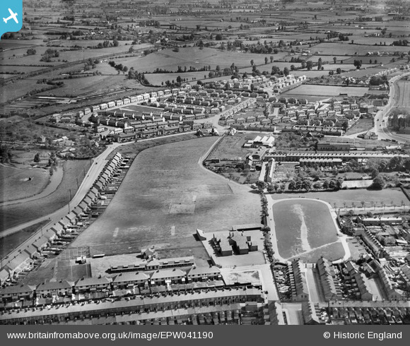
EPW041190 ENGLAND (1933). The Victoria Recreation Ground and environs, Taunton, 1933
© Copyright OpenStreetMap contributors and licensed by the OpenStreetMap Foundation. 2024. Cartography is licensed as CC BY-SA.
Details
| Title | [EPW041190] The Victoria Recreation Ground and environs, Taunton, 1933 |
| Reference | EPW041190 |
| Date | May-1933 |
| Link | |
| Place name | TAUNTON |
| Parish | |
| District | |
| Country | ENGLAND |
| Easting / Northing | 323628, 124951 |
| Longitude / Latitude | -3.0889383692066, 51.018317196335 |
| National Grid Reference | ST236250 |
Pins
 Ancient Briton |
Saturday 13th of June 2020 08:31:27 PM | |
finney |
Monday 10th of July 2017 02:31:57 PM | |
Toby Clempson |
Saturday 24th of June 2017 02:26:03 PM |


