
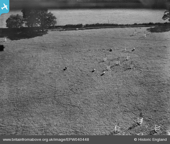
EPW040448 ENGLAND (1932). Cows in the field adjoining the Ovaltine Model Dairy Farm, Abbots Langley, 1932
© Copyright OpenStreetMap contributors and licensed by the OpenStreetMap Foundation. 2024. Cartography is licensed as CC BY-SA.
Nearby Images (23)
EPW040448

EPW040449

EPW040442

EPW040441

EPW040445

EPW040447

EPW040446

EPW040451

EPW052815
, Abbots Langley, 1937")
EPW040444

EPW052809
, Abbots Langley, 1937")
EPW052816
, Abbots Langley, 1937")
EPW061090

EPW052817
, Abbots Langley, 1937")
EPW040454

EPW052810
, Abbots Langley, 1937")
EPW040443

EPW052813
, Abbots Langley, 1937")
EPW052812
, Abbots Langley, 1937")
EPW052811
, Abbots Langley, 1937")
EPW052814
, Abbots Langley, 1937")
EPW040450

EPW040452

Details
| Title | [EPW040448] Cows in the field adjoining the Ovaltine Model Dairy Farm, Abbots Langley, 1932 |
| Reference | EPW040448 |
| Date | September-1932 |
| Link | |
| Place name | ABBOTS LANGLEY |
| Parish | ABBOTS LANGLEY |
| District | |
| Country | ENGLAND |
| Easting / Northing | 509580, 202761 |
| Longitude / Latitude | -0.41374442539206, 51.712405779264 |
| National Grid Reference | TL096028 |
Pins
Be the first to add a comment to this image!


