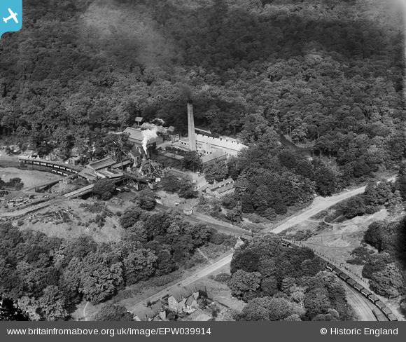
EPW039914 ENGLAND (1932). Cannop Colliery, Cannop, 1932
© Copyright OpenStreetMap contributors and licensed by the OpenStreetMap Foundation. 2024. Cartography is licensed as CC BY-SA.
Nearby Images (6)
EPW039914

EPW039915

EPW039913

EPW039910

EPW039912

EPW039911

Details
| Title | [EPW039914] Cannop Colliery, Cannop, 1932 |
| Reference | EPW039914 |
| Date | August-1932 |
| Link | |
| Place name | CANNOP |
| Parish | WEST DEAN |
| District | |
| Country | ENGLAND |
| Easting / Northing | 360811, 212480 |
| Longitude / Latitude | -2.5684900862551, 51.80913339018 |
| National Grid Reference | SO608125 |
Pins
Be the first to add a comment to this image!