
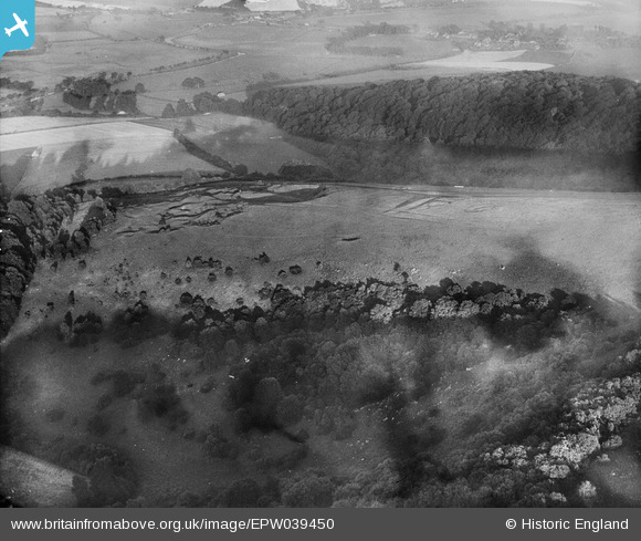
EPW039450 ENGLAND (1932). Earthworks on Bury Hill and Coombe Wood, Bury, 1932
© Copyright OpenStreetMap contributors and licensed by the OpenStreetMap Foundation. 2024. Cartography is licensed as CC BY-SA.
Nearby Images (4)
EPW039450

EPW039462

EPW039453

EPW039454

Details
| Title | [EPW039450] Earthworks on Bury Hill and Coombe Wood, Bury, 1932 |
| Reference | EPW039450 |
| Date | August-1932 |
| Link | |
| Place name | BURY |
| Parish | BURY |
| District | |
| Country | ENGLAND |
| Easting / Northing | 500147, 112237 |
| Longitude / Latitude | -0.57566817322927, 50.900361247464 |
| National Grid Reference | TQ001122 |
Pins
Be the first to add a comment to this image!


