
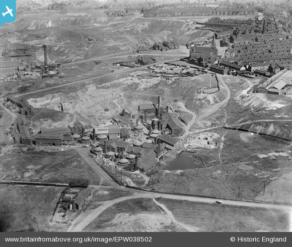
EPW038502 ENGLAND (1932). The Brownhills Tileries, St Mary's Church and environs, Tunstall, 1932
© Copyright OpenStreetMap contributors and licensed by the OpenStreetMap Foundation. 2024. Cartography is licensed as CC BY-SA.
Nearby Images (6)
EPW038502

EPW038499

EPW038498

EPW038497

EPW038500

EPW038501

Details
| Title | [EPW038502] The Brownhills Tileries, St Mary's Church and environs, Tunstall, 1932 |
| Reference | EPW038502 |
| Date | June-1932 |
| Link | |
| Place name | TUNSTALL |
| Parish | |
| District | |
| Country | ENGLAND |
| Easting / Northing | 385726, 350745 |
| Longitude / Latitude | -2.2129782224176, 53.053468697959 |
| National Grid Reference | SJ857507 |
Pins
 Nigel Millington |
Wednesday 21st of March 2018 06:46:44 PM |


