
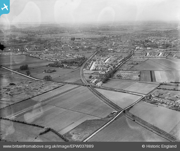
EPW037889 ENGLAND (1932). Mile Road crossing the Leicester Bedford and Hitchin Railway, the town and surrounding countryside, Bedford, from the south-east, 1932
© Copyright OpenStreetMap contributors and licensed by the OpenStreetMap Foundation. 2024. Cartography is licensed as CC BY-SA.
Nearby Images (3)
EPW037889

EPW037894

EPW037893

Details
| Title | [EPW037889] Mile Road crossing the Leicester Bedford and Hitchin Railway, the town and surrounding countryside, Bedford, from the south-east, 1932 |
| Reference | EPW037889 |
| Date | May-1932 |
| Link | |
| Place name | BEDFORD |
| Parish | |
| District | |
| Country | ENGLAND |
| Easting / Northing | 506268, 247827 |
| Longitude / Latitude | -0.44776021328117, 52.118123198862 |
| National Grid Reference | TL063478 |
Pins
 melgibbs |
Saturday 15th of December 2012 10:36:01 AM | |
melgibbs |
Saturday 15th of December 2012 10:32:50 AM | |
melgibbs |
Saturday 15th of December 2012 10:28:32 AM | |
melgibbs |
Saturday 15th of December 2012 10:27:55 AM | |
melgibbs |
Saturday 15th of December 2012 10:27:15 AM |


