
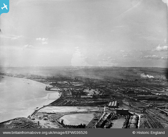
EPW036526 ENGLAND (1931). King George Dock and Alexandra Dock, Kingston upon Hull, from the east, 1931
© Copyright OpenStreetMap contributors and licensed by the OpenStreetMap Foundation. 2024. Cartography is licensed as CC BY-SA.
Nearby Images (3)
EPW036526

EPW036395

EPW012699

Details
| Title | [EPW036526] King George Dock and Alexandra Dock, Kingston upon Hull, from the east, 1931 |
| Reference | EPW036526 |
| Date | August-1931 |
| Link | |
| Place name | KINGSTON UPON HULL |
| Parish | |
| District | |
| Country | ENGLAND |
| Easting / Northing | 512999, 428965 |
| Longitude / Latitude | -0.28635806856615, 53.744575611539 |
| National Grid Reference | TA130290 |
Pins
Be the first to add a comment to this image!