
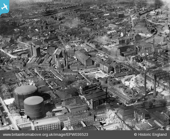
EPW036523 ENGLAND (1931). Industrial area centred upon Cleveland Street, Kingston upon Hull, 1931
© Copyright OpenStreetMap contributors and licensed by the OpenStreetMap Foundation. 2024. Cartography is licensed as CC BY-SA.
Nearby Images (22)
EPW036523

EPW036531

EPW009397

EPW053407

EPW053410

EPW053409

EPW053412

EPW053413

EPW053411

EAW010313

EAW010314

EAW010312

EAW010318

EAW010311

EAW010317

EAW010315

EAW010319

EAW010310

EAW010316

EAW010320

EPW012694

EAW010309

Details
| Title | [EPW036523] Industrial area centred upon Cleveland Street, Kingston upon Hull, 1931 |
| Reference | EPW036523 |
| Date | August-1931 |
| Link | |
| Place name | KINGSTON UPON HULL |
| Parish | |
| District | |
| Country | ENGLAND |
| Easting / Northing | 510380, 429872 |
| Longitude / Latitude | -0.32573252763247, 53.753286370811 |
| National Grid Reference | TA104299 |
Pins
 ChurchCrawler |
Thursday 22nd of April 2021 11:05:58 AM | |
Giddo |
Tuesday 7th of January 2020 10:29:07 AM | |
Giddo |
Tuesday 7th of January 2020 10:26:55 AM | |
Shaun Ashurst |
Friday 4th of October 2019 11:10:01 PM | |
ladyceecee |
Friday 8th of February 2019 08:54:42 PM | |
Philip |
Saturday 25th of October 2014 04:13:07 AM | |
John Wass |
Wednesday 18th of June 2014 08:38:55 PM | |
John Wass |
Wednesday 18th of June 2014 08:37:05 PM |
User Comment Contributions
What blows me away is the number of houses mixed in with this lot! My wife and I lived near here in our 60's childhood. |
Philip |
Saturday 25th of October 2014 04:17:05 AM |


