
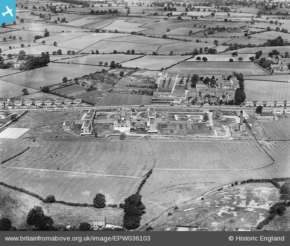
EPW036103 ENGLAND (1931). Derby City General Hospital and environs, Derby, 1931
© Copyright OpenStreetMap contributors and licensed by the OpenStreetMap Foundation. 2024. Cartography is licensed as CC BY-SA.
Nearby Images (7)
EPW036103

EPW036102

EPW036099

EPW036101

EPW036100

EPW036098

EPW036097

Details
| Title | [EPW036103] Derby City General Hospital and environs, Derby, 1931 |
| Reference | EPW036103 |
| Date | July-1931 |
| Link | |
| Place name | DERBY |
| Parish | |
| District | |
| Country | ENGLAND |
| Easting / Northing | 432694, 334994 |
| Longitude / Latitude | -1.5137824539934, 52.911059112588 |
| National Grid Reference | SK327350 |


