
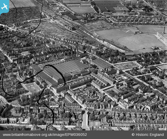
EPW036052 ENGLAND (1931). The Sherwood Hill Lace Works and environs, Nottingham, 1931. This image has been produced from a damaged negative.
© Copyright OpenStreetMap contributors and licensed by the OpenStreetMap Foundation. 2024. Cartography is licensed as CC BY-SA.
Nearby Images (9)
EPW036052

EPW036051

EPW036049

EPW036055

EPW036057

EPW036056

EPW036050

EPW036053

EPW036054

Details
| Title | [EPW036052] The Sherwood Hill Lace Works and environs, Nottingham, 1931. This image has been produced from a damaged negative. |
| Reference | EPW036052 |
| Date | July-1931 |
| Link | |
| Place name | NOTTINGHAM |
| Parish | |
| District | |
| Country | ENGLAND |
| Easting / Northing | 456369, 342128 |
| Longitude / Latitude | -1.1604854231643, 52.973226671418 |
| National Grid Reference | SK564421 |
Pins
 WWill14530 |
Wednesday 24th of June 2020 02:12:01 PM | |
Julie d |
Sunday 12th of April 2020 04:13:36 PM | |
Dave |
Monday 21st of October 2019 04:34:44 PM |


