
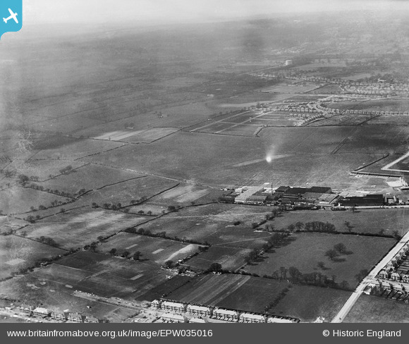
EPW035016 ENGLAND (1931). Stag Lane Aerodrome and environs, Queensbury, from the south-east, 1931
© Copyright OpenStreetMap contributors and licensed by the OpenStreetMap Foundation. 2024. Cartography is licensed as CC BY-SA.
Nearby Images (40)
EPW035016

EPW017872

EPW017873

EPW017874

EPW017875

EPW017876

EPW017877

EPW017878

EPW017880

EPW018132

EPW035014

EPW022363

EPW034980

EPW034980
EPW046485

EPW046490

EPW035006

EPW046488

EPW046486

EPW013198

EPW035011

EPW047552

EPW009129

EPW047550

EPW047551

EPW018765

EPW032889

EPW047556

EPW032890

EPW013199

EPW034987

EPW022048

EPW013196

EPW047553

EPW047549

EPW047554

EPW046489

EPW047557

EPW032892

EPW035010

Details
| Title | [EPW035016] Stag Lane Aerodrome and environs, Queensbury, from the south-east, 1931 |
| Reference | EPW035016 |
| Date | 18-April-1931 |
| Link | |
| Place name | QUEENSBURY |
| Parish | |
| District | |
| Country | ENGLAND |
| Easting / Northing | 519637, 189895 |
| Longitude / Latitude | -0.27263283106745, 51.594708945114 |
| National Grid Reference | TQ196899 |


