
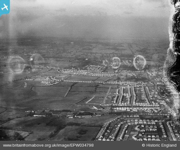
EPW034798 ENGLAND (1931). Stag Lane Aerodrome and environs, Little Stanmore, from the south-east, 1931. This image has been produced from a damaged negative.
© Copyright OpenStreetMap contributors and licensed by the OpenStreetMap Foundation. 2024. Cartography is licensed as CC BY-SA.
Nearby Images (14)
EPW034798

EPW034982

EPW034982
EPW031582

EPW034799

EPW031546

EPW030056

EPW015852

EPW015847

EPW015845

EPW015850

EPW015851

EPW015848

EPW015849

Details
| Title | [EPW034798] Stag Lane Aerodrome and environs, Little Stanmore, from the south-east, 1931. This image has been produced from a damaged negative. |
| Reference | EPW034798 |
| Date | 27-January-1931 |
| Link | |
| Place name | LITTLE STANMORE |
| Parish | |
| District | |
| Country | ENGLAND |
| Easting / Northing | 519506, 190502 |
| Longitude / Latitude | -0.27431651563721, 51.600192639398 |
| National Grid Reference | TQ195905 |
Pins
Be the first to add a comment to this image!


