
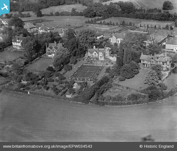
EPW034543 ENGLAND (1930). Houses on Gordon Avenue, Stanmore, 1930
© Copyright OpenStreetMap contributors and licensed by the OpenStreetMap Foundation. 2024. Cartography is licensed as CC BY-SA.
Nearby Images (5)
EPW034543

EPW034545

EPW034541

EPW034542

EPW034544

Details
| Title | [EPW034543] Houses on Gordon Avenue, Stanmore, 1930 |
| Reference | EPW034543 |
| Date | August-1930 |
| Link | |
| Place name | STANMORE |
| Parish | |
| District | |
| Country | ENGLAND |
| Easting / Northing | 516626, 191489 |
| Longitude / Latitude | -0.31555619557364, 51.609668093511 |
| National Grid Reference | TQ166915 |
Pins
Be the first to add a comment to this image!


