
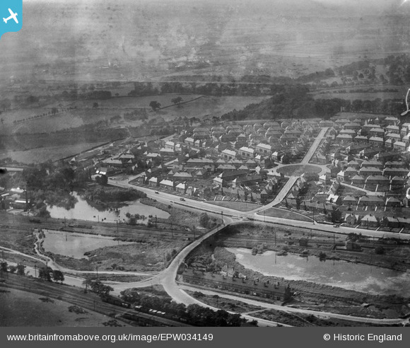
EPW034149 ENGLAND (1930). The Bulwell Hall Estate, Bulwell, 1930
© Copyright OpenStreetMap contributors and licensed by the OpenStreetMap Foundation. 2024. Cartography is licensed as CC BY-SA.
Nearby Images (44)
EPW034149

EPW020740

EPW020743

EPW034137

EPW020737

EPW034147

EPW034148

EPW020739

EPW034135

EPW020744

EPW020748

EPW034139

EAW038724

EPW034144

EPW020742

EPW020741

EPW034138

EPW034142

EPW020738

EPW034140

EPW034141

EAW031320

EPW034136

EPW021093

EAW031317

EPW021090

EAW031319

EPW021092

EPW034143

EPW021086

EPW021094

EPW021091

EAW031316

EPW021087

EAW031318

EPW021089

EPW021088

EPW021809

EPW021807

EPW034145

EAW031322

EPW021810

EAW031325

EAW031324

Details
| Title | [EPW034149] The Bulwell Hall Estate, Bulwell, 1930 |
| Reference | EPW034149 |
| Date | July-1930 |
| Link | |
| Place name | BULWELL |
| Parish | |
| District | |
| Country | ENGLAND |
| Easting / Northing | 454375, 346545 |
| Longitude / Latitude | -1.1894360122822, 53.013138518231 |
| National Grid Reference | SK544465 |
Pins
 FootfallsEcho |
Sunday 1st of September 2013 11:49:20 AM |


