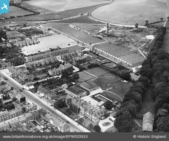
EPW033910 ENGLAND (1930). Waterlow and Sons Printing Works, Ashton Grammar School and environs, Dunstable, 1930
© Copyright OpenStreetMap contributors and licensed by the OpenStreetMap Foundation. 2024. Cartography is licensed as CC BY-SA.
Nearby Images (8)
EPW033910

EPW033908

EPW033909

EPW033905

EPW033906

EPW023858

EPW033907

EPW056923

Details
| Title | [EPW033910] Waterlow and Sons Printing Works, Ashton Grammar School and environs, Dunstable, 1930 |
| Reference | EPW033910 |
| Date | July-1930 |
| Link | |
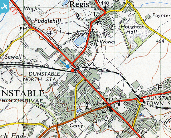
| Place name | DUNSTABLE |
| Parish | DUNSTABLE |
| District | |
| Country | ENGLAND |
| Easting / Northing | 501587, 222389 |
| Longitude / Latitude | -0.52365362063312, 51.890347959214 |
| National Grid Reference | TL016224 |
Pins
 ordinarybloke |
Tuesday 16th of April 2013 11:13:02 PM | |
ordinarybloke |
Tuesday 16th of April 2013 10:38:46 PM | |
ordinarybloke |
Tuesday 16th of April 2013 10:32:54 PM |