
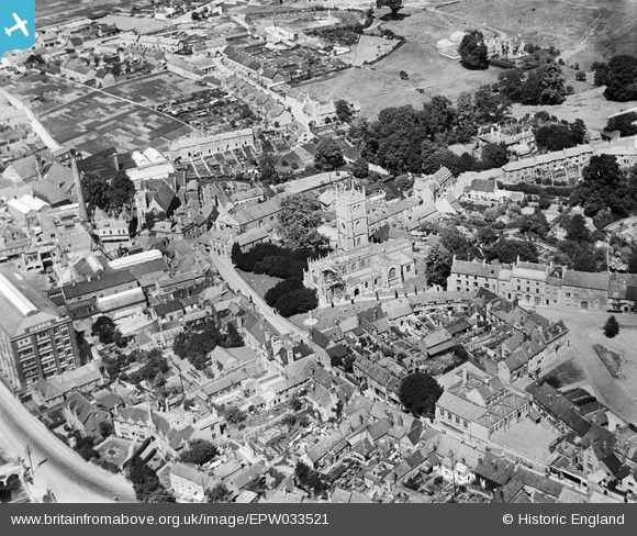
EPW033521 ENGLAND (1930). St Mary's Church and environs, Calne, 1930
© Copyright OpenStreetMap contributors and licensed by the OpenStreetMap Foundation. 2024. Cartography is licensed as CC BY-SA.
Nearby Images (27)
EPW033521

EPW029296

EPW033520

EPW001116

EPW029288

EPW033515

EPW011115

EPW029294

EPR000047
 Ltd Bacon Factory and the town centre, Calne, 1934")
EPW029289

EPW029297

EPW029295

EPR000048
 Ltd Bacon Factory and the town centre, Calne, 1934")
EPW033516

EPW029302

EPW011112

EPR000046
 Ltd Bacon Factory and the town centre, Calne, 1934")
EPW033517

EPW033526

EPW029300

EPW011113

EPW029293

EPW033518

EPW033522

EPR000053

EPW033519

EPR000050

Details
| Title | [EPW033521] St Mary's Church and environs, Calne, 1930 |
| Reference | EPW033521 |
| Date | July-1930 |
| Link | |
| Place name | CALNE |
| Parish | CALNE |
| District | |
| Country | ENGLAND |
| Easting / Northing | 399884, 170924 |
| Longitude / Latitude | -2.0016690167797, 51.436822674555 |
| National Grid Reference | ST999709 |
Pins
 Dockgreen |
Sunday 12th of March 2017 11:54:37 AM | |
Dockgreen |
Sunday 12th of March 2017 11:52:53 AM | |
Dockgreen |
Sunday 12th of March 2017 11:50:38 AM | |
Lynda Tubbs |
Wednesday 23rd of July 2014 01:53:26 PM |
User Comment Contributions
 A clear image. |
Lynda Tubbs |
Wednesday 23rd of July 2014 01:56:15 PM |


