
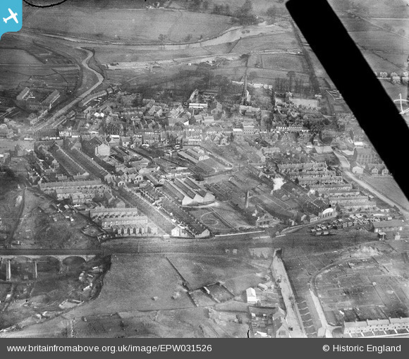
EPW031526 ENGLAND (1930). Horner Confectionery Works and the town centre, Chester-le-Street, 1930
© Copyright OpenStreetMap contributors and licensed by the OpenStreetMap Foundation. 2024. Cartography is licensed as CC BY-SA.
Nearby Images (16)
EPW031526

EPW014381

EPW031523

EPW031525

EPW016429

EPW031528

EPW031522

EPW031524

EPW031527

EPW031529

EPW031530

EPW014379

EPW032775

EPW032776

EPW014385

EAW033961

Details
| Title | [EPW031526] Horner Confectionery Works and the town centre, Chester-le-Street, 1930 |
| Reference | EPW031526 |
| Date | February-1930 |
| Link | |
| Place name | CHESTER-LE-STREET |
| Parish | |
| District | |
| Country | ENGLAND |
| Easting / Northing | 427330, 551396 |
| Longitude / Latitude | -1.5742340204356, 54.856520498764 |
| National Grid Reference | NZ273514 |
Pins
 Pelton Fell History Group |
Tuesday 13th of November 2012 02:42:31 PM |


