
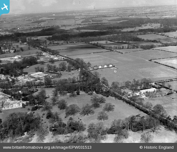
EPW031513 ENGLAND (1930). Cockfosters Road, Woodside Cottages and surrounding countryside, Cockfosters, from the south, 1930
© Copyright OpenStreetMap contributors and licensed by the OpenStreetMap Foundation. 2024. Cartography is licensed as CC BY-SA.
Details
| Title | [EPW031513] Cockfosters Road, Woodside Cottages and surrounding countryside, Cockfosters, from the south, 1930 |
| Reference | EPW031513 |
| Date | February-1930 |
| Link | |
| Place name | COCKFOSTERS |
| Parish | |
| District | |
| Country | ENGLAND |
| Easting / Northing | 528306, 195573 |
| Longitude / Latitude | -0.1454547900654, 51.643832570429 |
| National Grid Reference | TQ283956 |
Pins
 robert |
Wednesday 23rd of December 2020 06:58:35 PM | |
robert |
Wednesday 23rd of December 2020 06:58:08 PM | |
 |
 downloader141 |
Sunday 14th of August 2016 11:30:19 PM |
Macmartyn |
Friday 28th of November 2014 03:44:44 PM | |
Macmartyn |
Friday 28th of November 2014 03:36:54 PM | |
Macmartyn |
Friday 28th of November 2014 03:33:13 PM | |
Macmartyn |
Friday 28th of November 2014 03:17:41 PM |


