
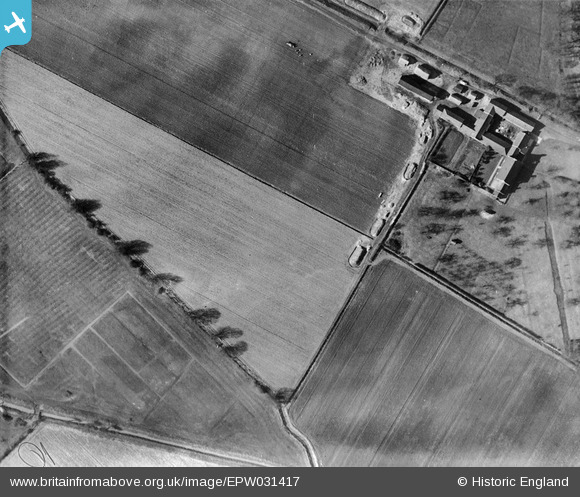
EPW031417 ENGLAND (1930). South Airmyn Grange, Goole, 1930
© Copyright OpenStreetMap contributors and licensed by the OpenStreetMap Foundation. 2024. Cartography is licensed as CC BY-SA.
Nearby Images (2)
EPW031417

EPW031408

Details
| Title | [EPW031417] South Airmyn Grange, Goole, 1930 |
| Reference | EPW031417 |
| Date | February-1930 |
| Link | |
| Place name | GOOLE |
| Parish | GOOLE |
| District | |
| Country | ENGLAND |
| Easting / Northing | 473337, 422185 |
| Longitude / Latitude | -0.8892849850464, 53.69073051631 |
| National Grid Reference | SE733222 |
Pins
Be the first to add a comment to this image!


