
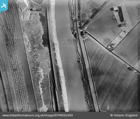
EPW031409 ENGLAND (1930). The Dutch River, the Smallpox Hospital and the Knottingley and Goole Canal, Goole, 1930
© Copyright OpenStreetMap contributors and licensed by the OpenStreetMap Foundation. 2024. Cartography is licensed as CC BY-SA.
Nearby Images (2)
EPW031409

EPW031408

Details
| Title | [EPW031409] The Dutch River, the Smallpox Hospital and the Knottingley and Goole Canal, Goole, 1930 |
| Reference | EPW031409 |
| Date | February-1930 |
| Link | |
| Place name | GOOLE |
| Parish | GOOLE |
| District | |
| Country | ENGLAND |
| Easting / Northing | 473497, 422518 |
| Longitude / Latitude | -0.88678327216766, 53.69370085412 |
| National Grid Reference | SE735225 |
Pins
 John Wass |
Saturday 5th of July 2014 11:39:59 AM |


