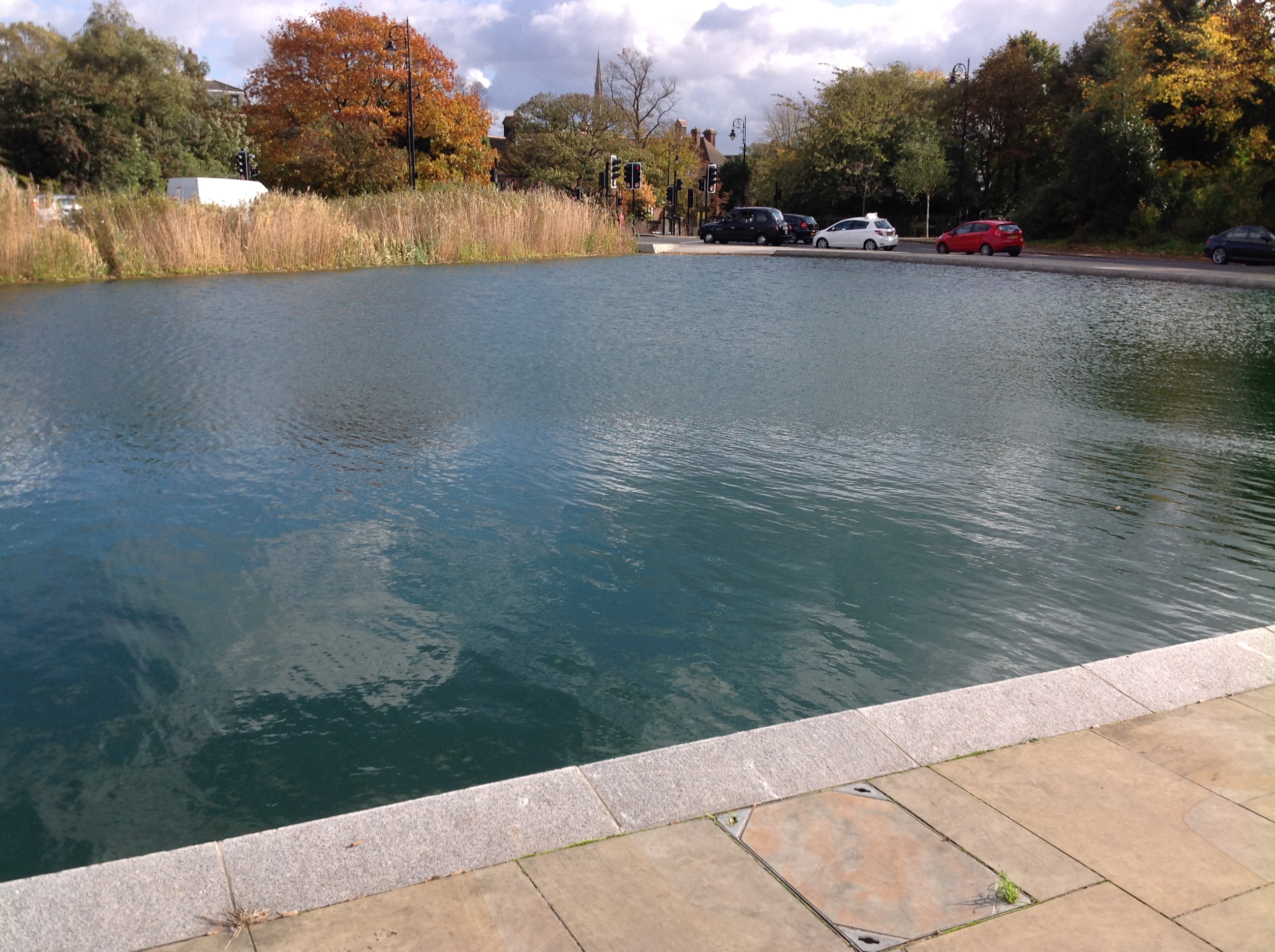
EPW026950 ENGLAND (1929). Whitestone Pond and West Heath, Hampstead, 1929

© Copyright OpenStreetMap contributors and licensed by the OpenStreetMap Foundation. 2024. Cartography is licensed as CC BY-SA.
Nearby Images (12)
EPW026950

EPW020198

EPW020198
EPW020197

EPW020197
EPW026949

EPW056655

EPW028170

EPW000818

EPW000430

EPW009353

EPW056656

Details
| Title | [EPW026950] Whitestone Pond and West Heath, Hampstead, 1929 |
| Reference | EPW026950 |
| Date | May-1929 |
| Link | |
| Place name | HAMPSTEAD |
| Parish | |
| District | |
| Country | ENGLAND |
| Easting / Northing | 526167, 186337 |
| Longitude / Latitude | -0.17967841469763, 51.561305323894 |
| National Grid Reference | TQ262863 |