
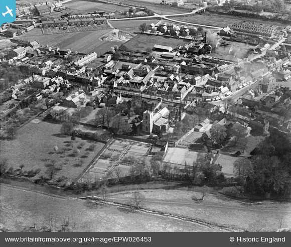
EPW026453 ENGLAND (1929). St Andrew's Church and environs, Biggleswade, 1929
© Copyright OpenStreetMap contributors and licensed by the OpenStreetMap Foundation. 2024. Cartography is licensed as CC BY-SA.
Nearby Images (3)
EPW026453

EPW026457

EPW026450

Details
| Title | [EPW026453] St Andrew's Church and environs, Biggleswade, 1929 |
| Reference | EPW026453 |
| Date | May-1929 |
| Link | |
| Place name | BIGGLESWADE |
| Parish | BIGGLESWADE |
| District | |
| Country | ENGLAND |
| Easting / Northing | 518788, 244597 |
| Longitude / Latitude | -0.26609493758458, 52.086545187224 |
| National Grid Reference | TL188446 |
Pins
 alastair wallace |
Sunday 20th of December 2015 09:58:16 PM |


