
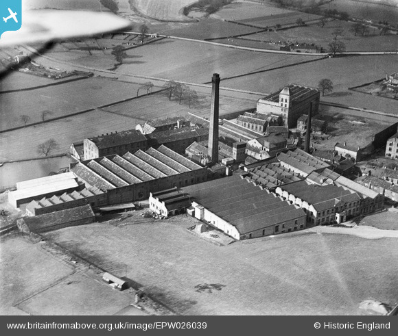
EPW026039 ENGLAND (1929). Valley Woollen and Worsted Mills, Apperley Bridge, 1929
© Copyright OpenStreetMap contributors and licensed by the OpenStreetMap Foundation. 2024. Cartography is licensed as CC BY-SA.
Nearby Images (3)
EPW026039

EPW026040

EPW024495

Details
| Title | [EPW026039] Valley Woollen and Worsted Mills, Apperley Bridge, 1929 |
| Reference | EPW026039 |
| Date | April-1929 |
| Link | |
| Place name | APPERLEY BRIDGE |
| Parish | |
| District | |
| Country | ENGLAND |
| Easting / Northing | 419159, 437611 |
| Longitude / Latitude | -1.7088444598996, 53.834191978085 |
| National Grid Reference | SE192376 |
Pins
Be the first to add a comment to this image!


