
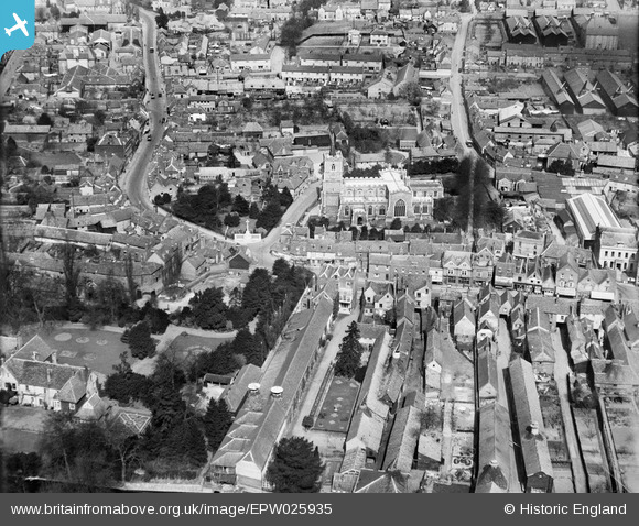
EPW025935 ENGLAND (1929). St Mary's Church and environs, Ware, 1929
© Copyright OpenStreetMap contributors and licensed by the OpenStreetMap Foundation. 2024. Cartography is licensed as CC BY-SA.
Nearby Images (9)
EPW025935

EPW025931

EPW025929

EAW022367

EPW013338

EAW022403

EAW022404

EAW022400

EPW013341

Details
| Title | [EPW025935] St Mary's Church and environs, Ware, 1929 |
| Reference | EPW025935 |
| Date | 3-April-1929 |
| Link | |
| Place name | WARE |
| Parish | WARE |
| District | |
| Country | ENGLAND |
| Easting / Northing | 535652, 214387 |
| Longitude / Latitude | -0.032009356839558, 51.811187248455 |
| National Grid Reference | TL357144 |
Pins

User Comment Contributions
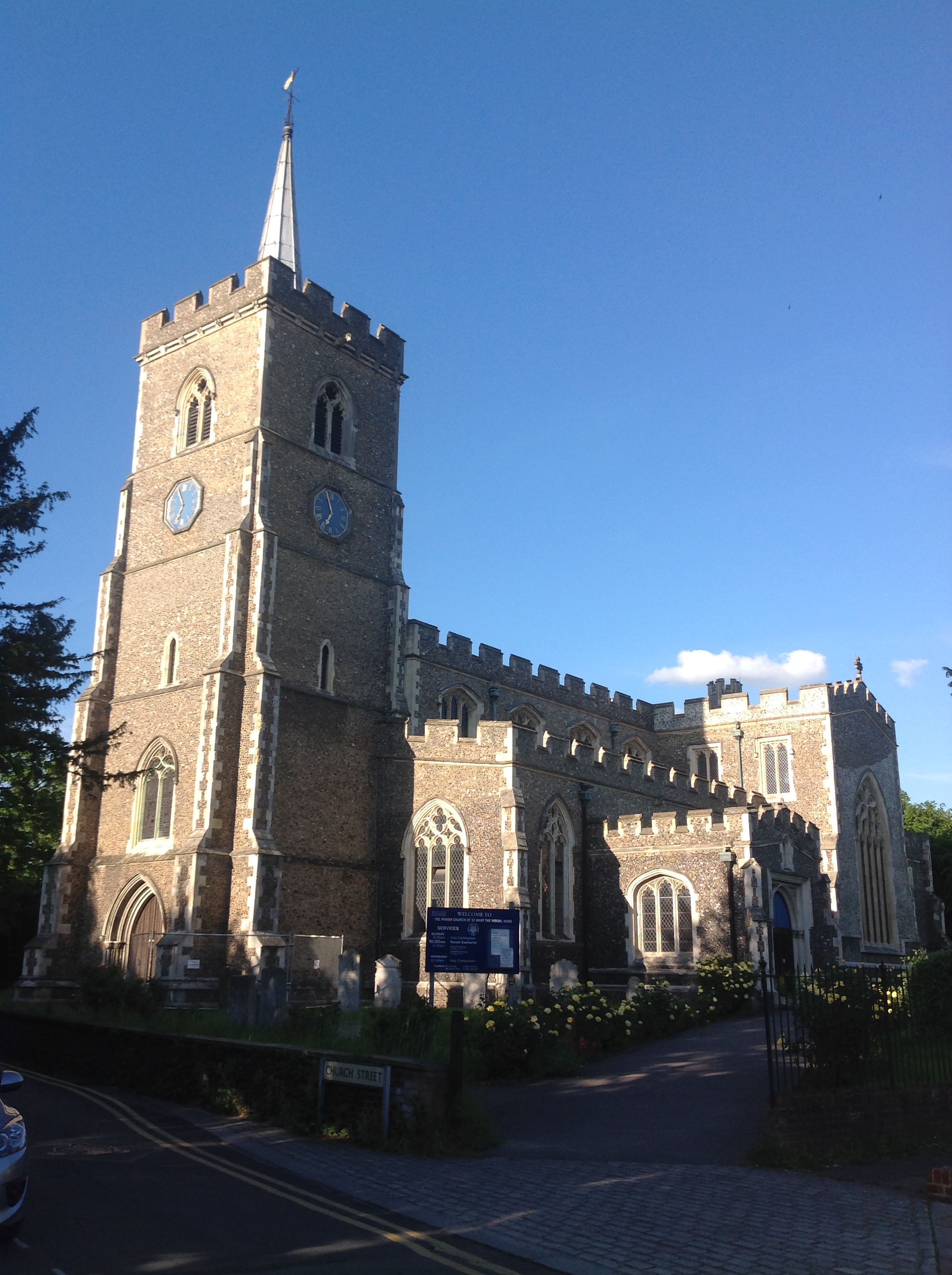 St. Mary's Church, Ware 25/05/2014 |
 Class31 |
Monday 26th of May 2014 09:14:44 PM |


