
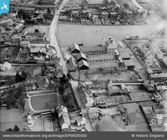
EPW025930 ENGLAND (1929). Malthouses on Collett Road, Ware, 1929
© Copyright OpenStreetMap contributors and licensed by the OpenStreetMap Foundation. 2024. Cartography is licensed as CC BY-SA.
Nearby Images (2)
EPW025930

EPW013341

Details
| Title | [EPW025930] Malthouses on Collett Road, Ware, 1929 |
| Reference | EPW025930 |
| Date | 3-April-1929 |
| Link | |
| Place name | WARE |
| Parish | WARE |
| District | |
| Country | ENGLAND |
| Easting / Northing | 535822, 214723 |
| Longitude / Latitude | -0.029412889165245, 51.814165495135 |
| National Grid Reference | TL358147 |
Pins
 DASharp |
Tuesday 16th of December 2014 09:41:20 PM | |
John1949 |
Wednesday 6th of August 2014 02:13:12 PM | |
John1949 |
Wednesday 6th of August 2014 02:11:49 PM | |
John1949 |
Wednesday 6th of August 2014 02:11:06 PM | |
John1949 |
Wednesday 6th of August 2014 02:10:32 PM | |
John1949 |
Wednesday 6th of August 2014 02:09:29 PM |


