
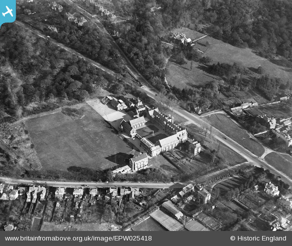
EPW025418 ENGLAND (1928). Bancroft's School, Woodford Green, 1928
© Copyright OpenStreetMap contributors and licensed by the OpenStreetMap Foundation. 2024. Cartography is licensed as CC BY-SA.
Nearby Images (2)
EPW025418

EPW025427

Details
| Title | [EPW025418] Bancroft's School, Woodford Green, 1928 |
| Reference | EPW025418 |
| Date | 8-November-1928 |
| Link | |
| Place name | WOODFORD GREEN |
| Parish | |
| District | |
| Country | ENGLAND |
| Easting / Northing | 540399, 193187 |
| Longitude / Latitude | 0.028268520942475, 51.619500883138 |
| National Grid Reference | TQ404932 |
Pins
Be the first to add a comment to this image!


