
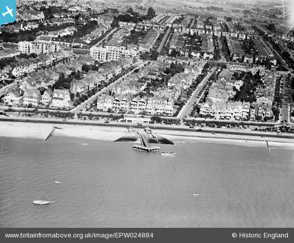
EPW024884 ENGLAND (1928). Westcliff Jetty and the town, Westcliff-on-Sea, 1928
© Copyright OpenStreetMap contributors and licensed by the OpenStreetMap Foundation. 2024. Cartography is licensed as CC BY-SA.
Nearby Images (19)
EPW024884

EAW053103

EPW000543

EPW024876

EPW037019

EPW037022

EAW043706

EPW036732

EAW043707

EPW054674

EPW037023

EPW040985

EAW043704

EAW053092

EPW037018

EPW037025

EPW040969

EPW032902

EPW054668

Details
| Title | [EPW024884] Westcliff Jetty and the town, Westcliff-on-Sea, 1928 |
| Reference | EPW024884 |
| Date | 3-October-1928 |
| Link | |
| Place name | WESTCLIFF-ON-SEA |
| Parish | |
| District | |
| Country | ENGLAND |
| Easting / Northing | 586384, 185317 |
| Longitude / Latitude | 0.68772172370521, 51.535461273828 |
| National Grid Reference | TQ864853 |
Pins
Be the first to add a comment to this image!


