
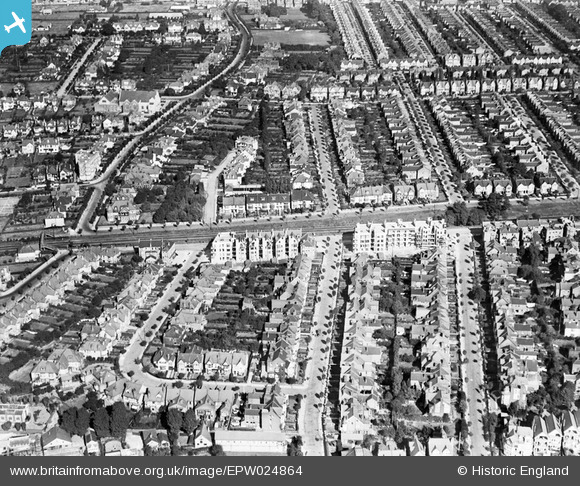
EPW024864 ENGLAND (1928). Residential area around Grosvenor Road and Alba Road, Westcliff-on-Sea, 1928
© Copyright OpenStreetMap contributors and licensed by the OpenStreetMap Foundation. 2024. Cartography is licensed as CC BY-SA.
Nearby Images (7)
EPW024864

EAW043704

EPW037019

EPW000543

EPW036732

EPW024867

EPW032902

Details
| Title | [EPW024864] Residential area around Grosvenor Road and Alba Road, Westcliff-on-Sea, 1928 |
| Reference | EPW024864 |
| Date | 3-October-1928 |
| Link | |
| Place name | WESTCLIFF-ON-SEA |
| Parish | |
| District | |
| Country | ENGLAND |
| Easting / Northing | 586339, 185594 |
| Longitude / Latitude | 0.68722020074438, 51.537964296859 |
| National Grid Reference | TQ863856 |
Pins
 Wes |
Saturday 15th of February 2020 08:06:17 AM |


