
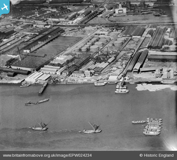
EPW024234 ENGLAND (1928). Minoco Wharf and environs, Silvertown, 1928
© Copyright OpenStreetMap contributors and licensed by the OpenStreetMap Foundation. 2024. Cartography is licensed as CC BY-SA.
Nearby Images (19)
EPW024234

EPW024241

EPW024231

EPW024236

EPW024232

EPW024238

EPW024237

EPW024239

EPW009696

EPW024233

EPW024230

EPW009693

EPW009698

EPW024235

EPW009694

EPW009695

EPW024240

EAW021112

EPW006144

Details
| Title | [EPW024234] Minoco Wharf and environs, Silvertown, 1928 |
| Reference | EPW024234 |
| Date | September-1928 |
| Link | |
| Place name | SILVERTOWN |
| Parish | |
| District | |
| Country | ENGLAND |
| Easting / Northing | 541018, 179733 |
| Longitude / Latitude | 0.031807725044538, 51.498438479072 |
| National Grid Reference | TQ410797 |


