
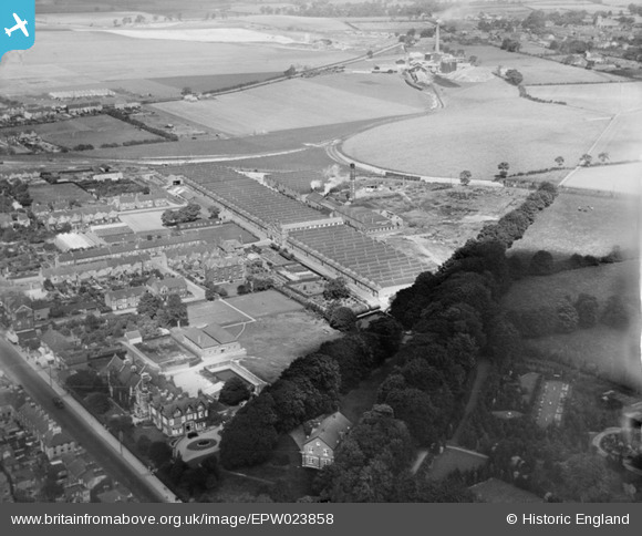
EPW023858 ENGLAND (1928). Waterlows Printing Works, Dunstable, 1928
© Copyright OpenStreetMap contributors and licensed by the OpenStreetMap Foundation. 2024. Cartography is licensed as CC BY-SA.
Nearby Images (8)
EPW023858

EPW033905

EPW033909

EPW033906

EPW033910

EPW033908

EPW033907

EPW056923

Details
| Title | [EPW023858] Waterlows Printing Works, Dunstable, 1928 |
| Reference | EPW023858 |
| Date | September-1928 |
| Link | |
| Place name | DUNSTABLE |
| Parish | DUNSTABLE |
| District | |
| Country | ENGLAND |
| Easting / Northing | 501624, 222443 |
| Longitude / Latitude | -0.52310018429525, 51.890826615007 |
| National Grid Reference | TL016224 |
Pins
 ordinarybloke |
Friday 16th of May 2014 07:45:58 PM | |
ordinarybloke |
Tuesday 16th of April 2013 10:45:51 PM | |
ordinarybloke |
Tuesday 16th of April 2013 10:41:38 PM |


