
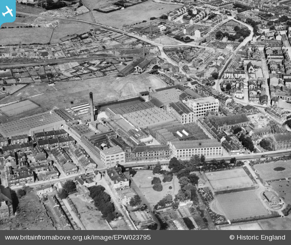
EPW023795 ENGLAND (1928). Heckmondwike Woollen Flush Mills, Heckmondwike, 1928
© Copyright OpenStreetMap contributors and licensed by the OpenStreetMap Foundation. 2024. Cartography is licensed as CC BY-SA.
Nearby Images (8)
EPW023795

EPW043122

EPW043118

EPW043119

EPW043120

EPW043121

EPW023799

EPW023796

Details
| Title | [EPW023795] Heckmondwike Woollen Flush Mills, Heckmondwike, 1928 |
| Reference | EPW023795 |
| Date | September-1928 |
| Link | |
| Place name | HECKMONDWIKE |
| Parish | |
| District | |
| Country | ENGLAND |
| Easting / Northing | 421274, 423715 |
| Longitude / Latitude | -1.6776621030552, 53.709199787764 |
| National Grid Reference | SE213237 |


