
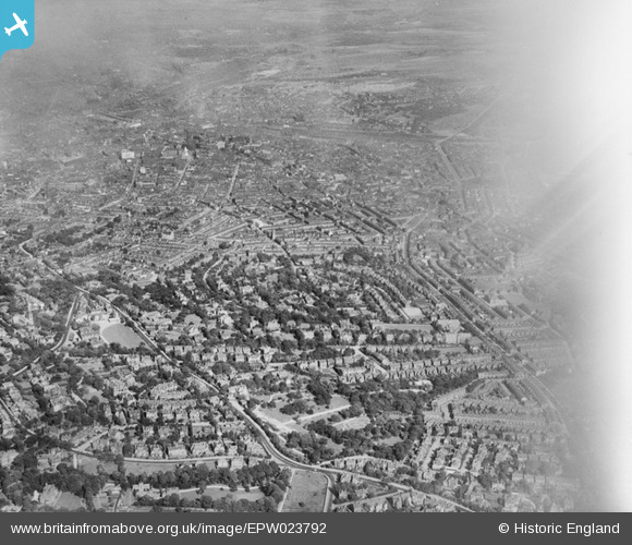
EPW023792 ENGLAND (1928). The Botanical Gardens and Broomfield housing, Sheffield, 1928
© Copyright OpenStreetMap contributors and licensed by the OpenStreetMap Foundation. 2024. Cartography is licensed as CC BY-SA.
Nearby Images (4)
EPW023792

EAW006270

EPW023791

EAW031256

Details
| Title | [EPW023792] The Botanical Gardens and Broomfield housing, Sheffield, 1928 |
| Reference | EPW023792 |
| Date | September-1928 |
| Link | |
| Place name | SHEFFIELD |
| Parish | |
| District | |
| Country | ENGLAND |
| Easting / Northing | 433701, 386337 |
| Longitude / Latitude | -1.4934055174224, 53.372552738964 |
| National Grid Reference | SK337863 |
Pins
 flubber |
Monday 30th of July 2012 01:25:09 AM | |
flubber |
Monday 30th of July 2012 01:24:13 AM | |
flubber |
Monday 30th of July 2012 01:23:30 AM | |
flubber |
Monday 30th of July 2012 01:22:22 AM | |
flubber |
Monday 30th of July 2012 01:09:44 AM | |
flubber |
Monday 30th of July 2012 01:07:12 AM | |
flubber |
Tuesday 3rd of July 2012 12:57:12 AM | |
peterg |
Wednesday 27th of June 2012 07:11:27 AM |


