
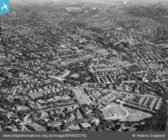
EPW023791 ENGLAND (1928). The Botanical Gardens and Broomfield housing, Sheffield, 1928
© Copyright OpenStreetMap contributors and licensed by the OpenStreetMap Foundation. 2024. Cartography is licensed as CC BY-SA.
Nearby Images (3)
EPW023791

EAW006270

EPW023792

Details
| Title | [EPW023791] The Botanical Gardens and Broomfield housing, Sheffield, 1928 |
| Reference | EPW023791 |
| Date | September-1928 |
| Link | |
| Place name | SHEFFIELD |
| Parish | |
| District | |
| Country | ENGLAND |
| Easting / Northing | 433623, 386160 |
| Longitude / Latitude | -1.4945968003906, 53.370966601655 |
| National Grid Reference | SK336862 |
Pins
 gerry-r |
Thursday 3rd of July 2014 09:52:02 PM | |
Fantasma |
Friday 14th of March 2014 09:18:03 PM | |
Fantasma |
Friday 14th of March 2014 09:17:00 PM | |
Ace |
Saturday 11th of May 2013 12:13:52 AM | |
flubber |
Monday 30th of July 2012 01:43:05 AM | |
flubber |
Monday 30th of July 2012 01:38:09 AM | |
flubber |
Monday 30th of July 2012 01:33:42 AM | |
JPW |
Friday 29th of June 2012 02:09:53 PM | |
peterg |
Wednesday 27th of June 2012 07:15:19 AM | |
peterg |
Wednesday 27th of June 2012 07:14:38 AM |


