
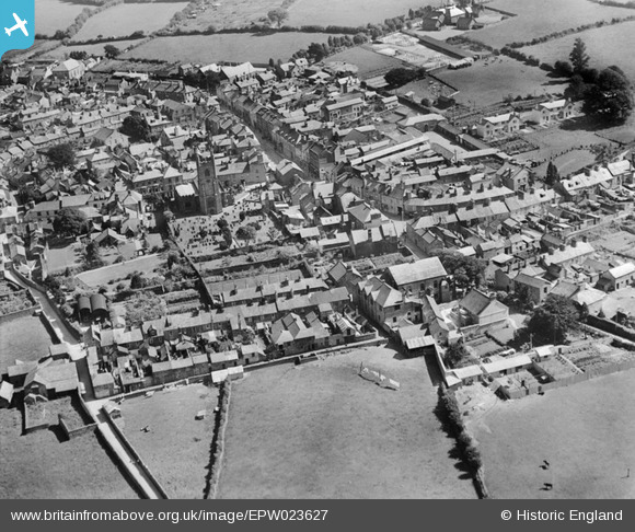
EPW023627 ENGLAND (1928). The town centre, Callington, 1928
© Copyright OpenStreetMap contributors and licensed by the OpenStreetMap Foundation. 2024. Cartography is licensed as CC BY-SA.
Nearby Images (8)
EPW023627

EPW023622

EPW023628

EPW023623

EPW023624

EPW011282

EPW023625

EPW023626

Details
| Title | [EPW023627] The town centre, Callington, 1928 |
| Reference | EPW023627 |
| Date | September-1928 |
| Link | |
| Place name | CALLINGTON |
| Parish | CALLINGTON |
| District | |
| Country | ENGLAND |
| Easting / Northing | 235797, 69651 |
| Longitude / Latitude | -4.3157811317369, 50.503007342458 |
| National Grid Reference | SX358697 |
Pins
Be the first to add a comment to this image!


