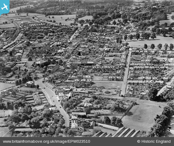
EPW023510 ENGLAND (1928). The town centre, Egham, from the north-east, 1928
© Copyright OpenStreetMap contributors and licensed by the OpenStreetMap Foundation. 2024. Cartography is licensed as CC BY-SA.
Nearby Images (7)
EPW023510

EPW026267

EPW023512

EPW026252

EPW023505

EPW026266

EPW006214

Details
| Title | [EPW023510] The town centre, Egham, from the north-east, 1928 |
| Reference | EPW023510 |
| Date | September-1928 |
| Link | |
| Place name | EGHAM |
| Parish | |
| District | |
| Country | ENGLAND |
| Easting / Northing | 501383, 171581 |
| Longitude / Latitude | -0.54135962726514, 51.433656133104 |
| National Grid Reference | TQ014716 |
Pins
 Natalie |
Sunday 22nd of November 2020 10:27:11 AM | |
 Class31 |
Tuesday 8th of September 2015 08:43:52 PM | |
Class31 |
Tuesday 8th of September 2015 08:42:52 PM | |
richburton |
Monday 23rd of March 2015 10:30:45 PM | |
Class31 |
Tuesday 30th of October 2012 05:12:04 PM | |
Class31 |
Tuesday 30th of October 2012 05:11:08 PM | |
Class31 |
Tuesday 30th of October 2012 05:09:48 PM | |
Class31 |
Tuesday 30th of October 2012 05:09:33 PM | |
Class31 |
Tuesday 30th of October 2012 05:09:15 PM |