
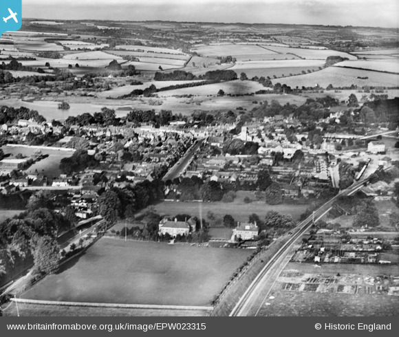
EPW023315 ENGLAND (1928). The town and environs, New Alresford, from the south-west, 1928
© Copyright OpenStreetMap contributors and licensed by the OpenStreetMap Foundation. 2024. Cartography is licensed as CC BY-SA.
Nearby Images (4)
EPW023315

EPW023309

EPW032307

EPW023313

Details
| Title | [EPW023315] The town and environs, New Alresford, from the south-west, 1928 |
| Reference | EPW023315 |
| Date | September-1928 |
| Link | |
| Place name | NEW ALRESFORD |
| Parish | NEW ALRESFORD |
| District | |
| Country | ENGLAND |
| Easting / Northing | 458578, 132535 |
| Longitude / Latitude | -1.1635135658165, 51.088603066085 |
| National Grid Reference | SU586325 |
Pins
 RLL |
Tuesday 8th of January 2019 05:32:01 PM | |
RLL |
Tuesday 8th of January 2019 05:29:05 PM | |
Mark Herriott |
Wednesday 27th of June 2012 11:39:27 PM |


