EPW022808 ENGLAND (1928). The Larkhall Estate, Lambeth, from the south-west, 1928

© Copyright OpenStreetMap contributors and licensed by the OpenStreetMap Foundation. 2024. Cartography is licensed as CC BY-SA.
Nearby Images (19)
EPW022808

EPW022806

EAW000475

EAW000471

EPW024227

EPW024225

EAW000474

EPW024226

EPW017169

EPW024229

EPW024228

EAW000472

EPW017173

EAW000470

EAW000473

EPW022809

EPW022820

EPW032048

EAW030134

Details
| Title | [EPW022808] The Larkhall Estate, Lambeth, from the south-west, 1928 |
| Reference | EPW022808 |
| Date | August-1928 |
| Link | |
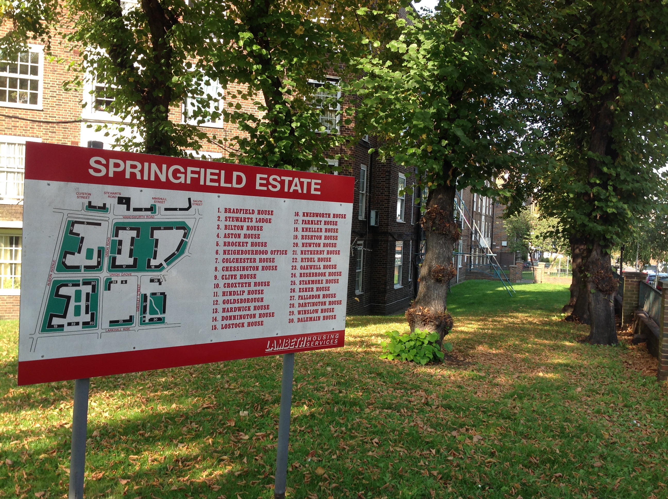
| Place name | LAMBETH |
| Parish | |
| District | |
| Country | ENGLAND |
| Easting / Northing | 529536, 176359 |
| Longitude / Latitude | -0.1347660877478, 51.470862183401 |
| National Grid Reference | TQ295764 |
Pins
 brianbeckett |
Saturday 4th of July 2020 05:42:28 PM | |
brianbeckett |
Saturday 4th of July 2020 05:40:48 PM | |
 Class31 |
Monday 24th of November 2014 08:54:38 AM | |
Class31 |
Monday 24th of November 2014 08:53:30 AM | |
Class31 |
Monday 24th of November 2014 08:52:54 AM | |
Class31 |
Monday 24th of November 2014 08:52:08 AM | |
wessexpig |
Sunday 5th of May 2013 08:29:29 PM |