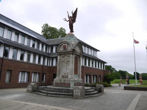
EPW022755 ENGLAND (1928). War Memorial Park, Basingstoke, 1928. This image has been produced from a print.

© Copyright OpenStreetMap contributors and licensed by the OpenStreetMap Foundation. 2024. Cartography is licensed as CC BY-SA.
Nearby Images (2)
EPW022755

EPW033383

Details
| Title | [EPW022755] War Memorial Park, Basingstoke, 1928. This image has been produced from a print. |
| Reference | EPW022755 |
| Date | August-1928 |
| Link | |
| Place name | BASINGSTOKE |
| Parish | |
| District | |
| Country | ENGLAND |
| Easting / Northing | 464107, 151706 |
| Longitude / Latitude | -1.0811504260725, 51.260394430744 |
| National Grid Reference | SU641517 |